Using Google Mapping
Introduction
Gold-Vision’s Google Maps integration allows users to visualise their CRM data in an entirely new way.
Customer, supplier and prospect records can now be displayed through an interactive map view.
The view shows individual pins to help users visualise customer locations and will automatically group pins together in order to better visualise the density of customers in particular locations.
Google Mapping comes on a subscription basis, please contact us for more information about the pricing for this.
Creating a Map View
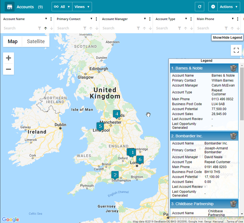
The ‘Map’ view option has been added to all major lists to allow any geocoded items to be displayed on a map.
In order for the map view to be displayed, one geocoded field must be selected to be displayed on the list (eg Post Code) else an error will be displayed to the user.
The map view shows individual pins for each object when there are less than approximately 100 of them and groups them together when there are more, for performance and ease of use.
Radius Filtering
To show all records within a certain radius of a location click the Pipe Icon below the Postcode column, enter a postcode and the range then click Filter, the list will display the account whiting that mile radius.
Route Planning
Go to a Gold-Vision List make sure you have the Post Code field in the list, click Select then select the items you would like to be included in the route then click on Plan Route.
 Related articles